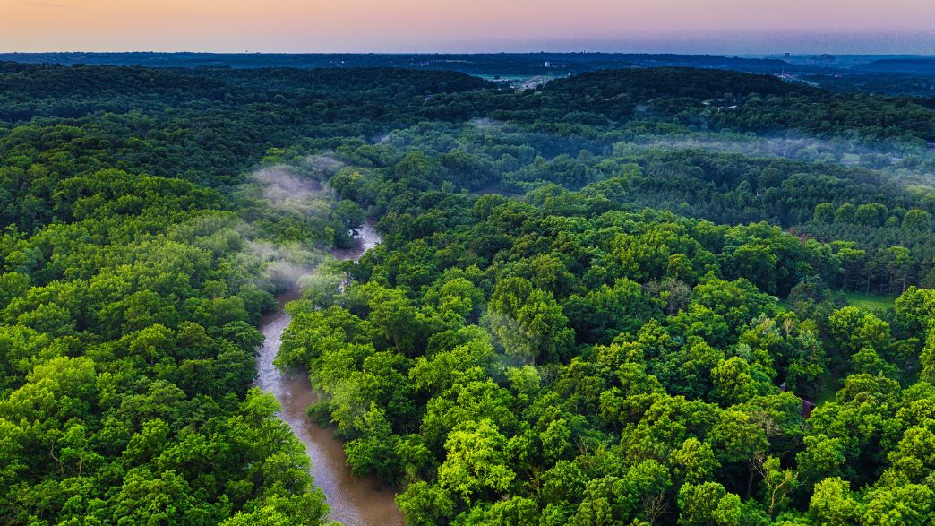
After the onset of forest fires, many pray for rain to come, hoping to extinguish the flames. Rains after forest fires, however, are a significant cause for concern, as blazes increase the risk of subsequent flooding exponentially.
When fires rip through the landscape, they burn not only countless trees and plants but also their roots, which go deep into the ground.
As Greek Reporter explains, this complex web of root systems is integral to maintaining the landscape structure. Roots embedded deep in the ground help to keep the soil in place, stabilizing it during any potential rainfall, no matter how torrential.
Additionally, healthy forest ecosystems protect the ground against the physical impact of the heavy rainfall, and therefore prevent flooding to a degree.
As forests are stratified into four layers — the upper canopy, the middle level, the underbrush level, and the forest floor — heavy rains are filtered through at the higher levels, and the soil on the forest floor is protected from the brunt of heavy rainfall.
When these roots are burned and destroyed, the soil is not kept in place, and any rainfall received could destabilize the ground, resulting in mud and landslides.
https://www.facebook.com/watch/?v=3997335990377653
Additionally, the heat of the fire, if strong enough, can cause a chemical reaction in the soil that makes more water resistant, and less likely to absorb any rainwater, compounding the flood risk after fires, even in areas that had been at very low risk before.
Flash flooding in areas with charred earth can take place just minutes after rainfall begins, and flooding after forest fires can be more destructive than normal floods.
This is also since the soil is less absorptive and is not held in place by vegetation, which causes rushing rain waters to pick up debris, ash, and soil, creating mudflows.
These conditions last until vegetation and plant life begin to grow back in fire-stricken regions, which can take over five years.
Greek scientist Efthymios Lekkas, a Professor of Dynamic Tectonic Applied Geology and Disaster Management at the National and Kapodistrian University of Athens, warned of the environmental destruction caused by the fires and stressed the increased risk of floods in Greece in the wake of the blazes that have plagued the country for over a week.
Lekkas claimed on Wednesday that the geomorphology of the areas in the Peloponnese and on Evia that are now burned will ”change drastically.”
In terms of flooding due to uncontrolled runoff after areas have been deforested, Lekkas noted that the least affected area will be that in the Peloponnese. However, he believes that Attica, and to a greater extent Evia, will suffer significantly in the future by flooding, due to the fire destruction.
”In Attica, the flood risk is high given the human interventions in the hydrographic network,” Lekkas stated.
”However, the greatest flood risk is found in Evia, where basins that discharge water develop in areas of villages along the coastal zone,” the professor warned.
”The risk of landslides in Northern Evia is increasing dramatically and huge consequences are expected. The same applies to the Peloponnese, to a lesser but measurable extent,” Lekkas wrote.
Lekkas claimed that the reforestation in the Peloponnese will be rapid, similar to what happened after the devastating fires of 2007.
”The restoration of ecosystems and especially the flora in the Peloponnese will be fast, according to the data from the fire of 2007, due to the high rainfall, fertile soils, and geological formations,” Lekkas stated.
However, Evia will face a huge problem.
”It is estimated that the 400,000 stremmata will never return to their previous state,” the professor noted.
Nightmare Returns as Two Fires Burn Near Athens
Firefighters continue to battle two separate wildfires near Athens on August 16 in a situation reminiscent of the catastrophic fires earlier in the month in Attica, Evia and the Peloponnese, according to Greek Reporter.
Near the town of Lavrio, southeast of Athens, dozens of firefighters are trying to prevent a blaze from reaching the National Forest of Sounio further south.
The fire front rages along the villages of Markati, Synterina and Aghios Konstantinos – all of which have been evacuated along with Dimolaki – while homes have been damaged. One of the fronts extends along the mountain ridge above Aghios Konstantinos, where firefighters are concentrating their forces.
Unfortunately the strong winds, registering between 4 and 6 on the Beaufort scale, are preventing any containment of the blaze.
A total of 91 firefighters with three ground teams and 34 fire trucks are in the region, along with six airplanes and six helicopters, including those of the armed forces. Volunteer firefighters, heavy machinery and local water trucks are assisting in the efforts.
Saronikos Mayor Petros Filippou said that both his township and that of Lavreotiki are putting to use all available means, noting that “things are very difficult” because of the wind.
Access to the Aghios Konstantinos-Anavyssos road, and the old Lavrio-Keratea road is blocked for the time being.
West of the Greek capital, local authorities are helping firefighters in Villia, northwest of Athens, and homes are not threatened for the time being, the mayor of Mandra-Idyllia region Christos Stathis told the Athens-Macedonian News Agency on Monday afternoon.
“There is a huge effort to delimit the fire, under very difficult circumstances. Unfortunately, there are indications the fire is a result of arson,” he noted, “but the priority is to prevent it from expanding.”
Stathis added, “Homes are not threatened at this point, but it’s burning down our forest, where they have not allowed us to create fire zones the last 30 years.”
The entire township of Mandra-Idyllia, to which Villia belongs, has turned over all its resources to firefighters, while evacuations of nearby villages are in process through the 112 European emergency number.
A total of 61 firefighters, a ground crew, and 25 fire trucks with 13 aircraft are operating in the Villia area, with volunteer firefighters, water trucks and heavy machinery.
More than 500 wildfires have broken out across Greece in recent weeks during a severe and protracted heatwave that sent temperatures soaring to around 45 degrees Celsius (113 Farenheit).
The largest fire, on the island of Evia near the capital, burned for over a week earlier in August before being contained, ravaging swaths of forestland in the island’s north and forcing the evacuation of thousands of people by sea.
Firefighting forces from Poland who were deployed in Evia rushed earlier on Monday to assist their Greek colleagues in battling the fires near Athens. Fire engines were loaded onto ferries to be transferred to the Greek capital.
Civil Protection Deputy Minister Nikos Hardalias was hospitalized on Monday after an ischemic event.
Hardalias was at the Civil Protection Operations Center when the incident occurred; he was transferred to the Agia Olga Hospital.
According to a hospital statement, Hardalias was admitted at approximately 2:30 PM, where he was examined and had both a coronary angiography and an angioplasty performed. Both were successful, Hospital Director Charalambos Priftis said, adding that the Minister will remain in the Cardiology Clinic for observation.
Hardalias has been handling the coordination for the coronavirus and fire crises. His coordination duties will be carried out by Secretary General Vassilios Papageorgiou, who was already at the Ops Center when the incident occurred, Civil Protection noted.
The meteorological service of the National Observatory of Athens issued a new statement on Friday morning in regard to the magnitude of the environmental catastrophe that wildfires have caused in Greece this year.
After analyzing data from the European Forest Fire Information System (EFFIS), the NOA stated that a total of 1,161,650 stremmata, or 287,049 acres, of land have been burned since the beginning of the fire season in Greece for 2021.
This represents an astonishing 448% increase compared to the average annual burned acreage between 2002 and 2020.
A total of 58 large forest fires have taken place in Greece in 2021. This gives an average of 4,942 acres being burned per large fire in Greece, putting the country at the top of the Mediterranean nations for this year.