For the first time in more than five decades, a tropical cyclone is on track to hit Australia’s relatively temperate east coast.
Slow-moving Cyclone Alfred is barrelling toward Brisbane – Australia’s third biggest city – and the nearby tourist town of Gold Coast. With it comes the threat of torrential rain, powerful winds and flooding to the border area between Queensland and New South Wales.
After briefly stalling Wednesday night, Alfred is now predicted to make landfall on Saturday, according to forecasts from the country’s Bureau of Meteorology (BOM). It is then forecast to batter Brisbane with rain and destructive winds for at least 12 hours.
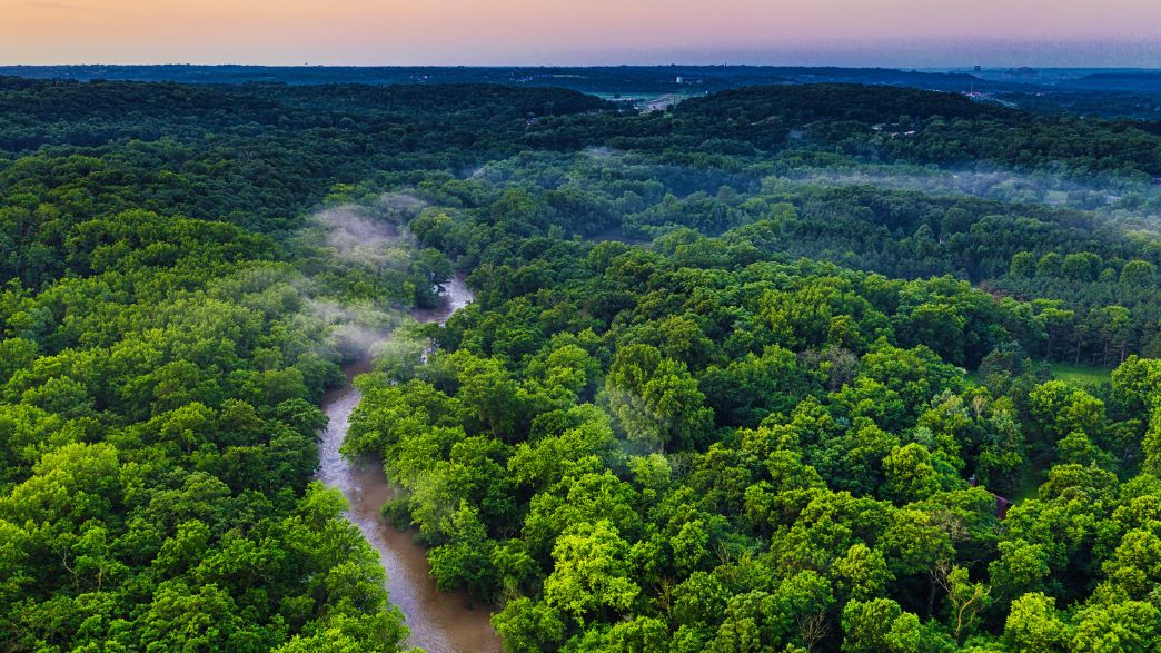
While cyclones are common in Queensland’s tropical north, they are rare in its temperate border with New South Wales. The last time a cyclone struck the Gold Coast was in 1974, when Cyclone Zoe brought heavy flooding to the region.
What’s behind this unusual storm?
How severe could Cyclone Alfred be?
Current forecasts maintain Alfred as a Category 2 cyclone. Meaning, it will have winds that can gust up to 164 kilometres per hour. But its strength could still intensify before it makes landfall, experts have cautioned.
The BOM has warned that Alfred could drop more than 800 millimetres of rain in some regions – more than the total annual average for March – raising concerns about flash flooding and river overflows. Strong winds and high tides could also exacerbate coastal erosion.
Authorities have issued several warnings as the storm intensifies offshore, urging residents in vulnerable areas to prepare for severe weather conditions.
In a public address on Wednesday, Queensland Premier David Crisafulli encouraged residents “to absorb the warnings from all manner of sources.”
On Thursday morning in Australia, Crisafulli updated shared that, despite its delay, Alfred’s strength and eventual landfall had not changed.
“[Alfred] remains as a Category 2 [storm]. Obviously, we have seen a delay in the system,” he said, later adding that it is now likely to cross the coast on Saturday morning.
Australia’s east coast has already experienced some of Alfred’s impact. Powerful winds and wet weather battered parts of the coastline Thursday. Gold Coast witnessed record-breaking 12.3-metre waves on Wednesday.
The storm has also disrupted travel plans, with several airlines cancelling flights. Virgin Australia cancelled flights to Brisbane from 4pm on Thursday afternoon as a precaution. All flights from Byron Bay’s Ballina Byron Gateway Airport have been cancelled, while Gold Coast Airport closed its terminal Wednesday afternoon.
What does it take for a cyclone to form?
Cyclones require unique conditions to form and strengthen.
They need high sea temperatures of at least 27°C, converging winds near the surface of the sea, low wind shear – where wind speed does not vary greatly at different altitudes – allowing them to rise vertically and to be far enough south of the equator to spin.
Alfred is unique because Queensland does not usually meet those conditions perfectly. But researchers have warned that climate change is expanding the tropical rain belt.
A 2021 study published in Nature Climate Change found that a warming planet is causing that tropical region to shift and the seas to heat up further south, potentially supercharging storms like Alfred while affecting where they appear in the first place.
Is climate change driving stronger cyclones?
Meteorologists and climate scientists are increasingly concerned that climate change is intensifying extreme weather events like Alfred.
While cyclones have long been a feature of tropical zones, warming seas and shifting atmospheric patterns may be making them more frequent and severe.
Not to mention cyclones don’t usually strike so far south.
“This is a rare event, to have a tropical cyclone in an area that is not classified as part of the tropics, here in southeast Queensland and northern New South Wales,” Australian Prime Minister Anthony Albanese told reporters in Brisbane.
Scientists have been able to draw clear links between climate change and the frequency of severe weather events such as droughts and wildfires. It has been harder for them to connect the dots with cyclones. But most agree that these storms are growing stronger and more severe.
A 2023 report from the Intergovernmental Panel on Climate Change (IPCC) indicated that while the total number of cyclones globally may not be increasing, their intensity is.
More storms are reaching higher categories, bringing destructive winds and heavier rainfall, which can lead to devastating floods. The report also noted that human influence was very likely the main driver of these increases.